Titelski Breg
Map overview
Move across the image to reveal farmland boundaries.
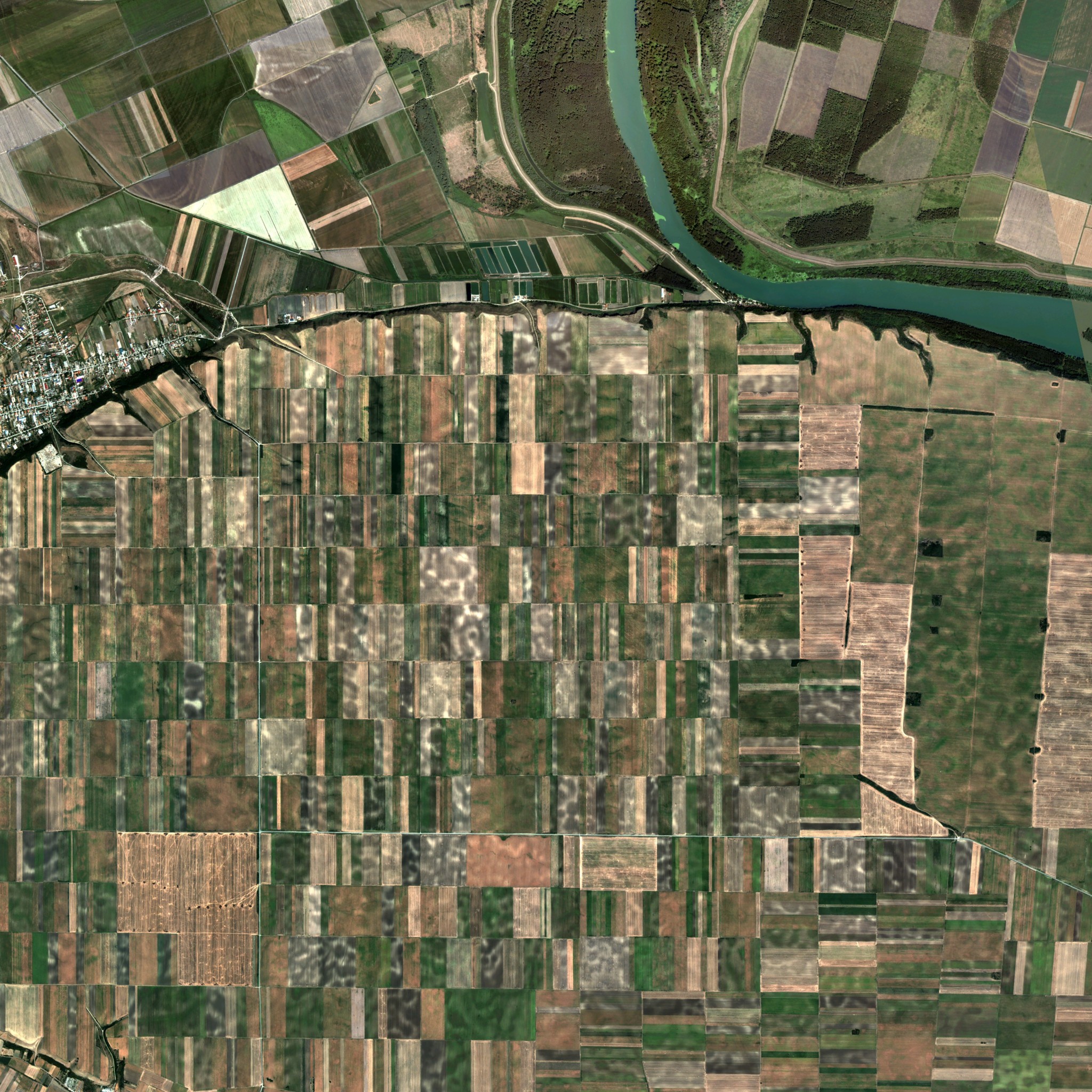
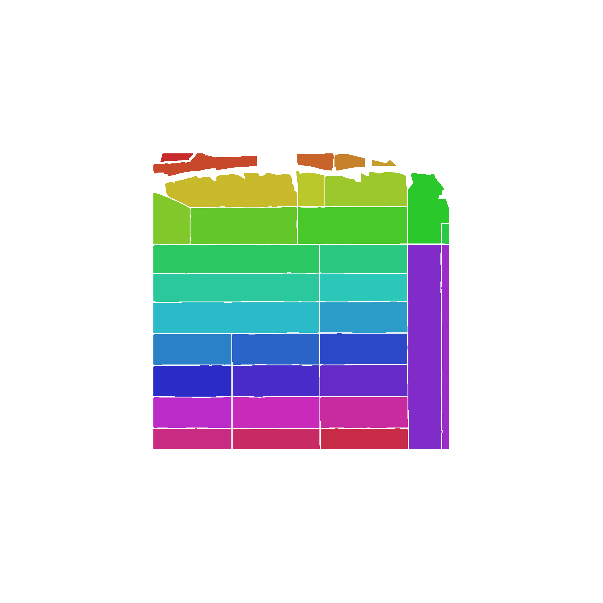
Preview image
Generated from the map preview asset.
Screenshots
6 uploaded views
Map description
Titelski Breg is based on the real Titelski Breg loess plateau in the municipality of Titel, South Backa District, Vojvodina, Serbia. The 4.096 km x 4.096 km playable area is centered at 45.275807, 20.212097. Large cultivated parcels across the plateau contrast with wooded slopes and low, water-rich ground. The real reserve and its protection zone combine valuable steppe and loess habitats with an intensively farmed agricultural landscape, creating a setting for large-scale arable farming around distinctive terrain. The map contains 33 purchasable farmlands and intentionally provides no pre-placed sell points or production points. Build the facilities needed for your own farm. Terrain elevation: NASA/NGA Shuttle Radar Topography Mission (SRTM), public-domain United States government data: https://www.usgs.gov/centers/eros/science/usgs-eros-archive-digital-elevation-shuttle-radar-topography-mission-srtm Imagery: Generated using European Union's Copernicus Land Monitoring Service information; Very High Resolution Image Mosaic 2021 True Colour (raster 2 m), Europe. Adapted for Farming Simulator 25: https://land.copernicus.eu/en/products/european-image-mosaic/very-high-resolution-image-mosaic-2021-true-colour-2m Map data: © OpenStreetMap contributors, available under the Open Database License (ODbL): https://www.openstreetmap.org/copyright
Comments
No comments yet.
Sign in to comment or rate this map.