Kac, Serbia
Map overview
Move across the image to reveal farmland boundaries.
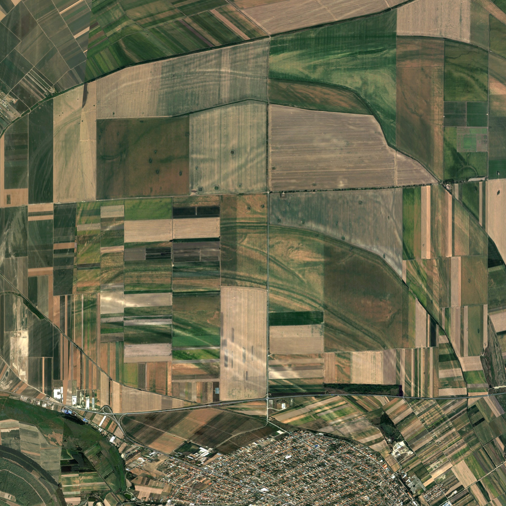
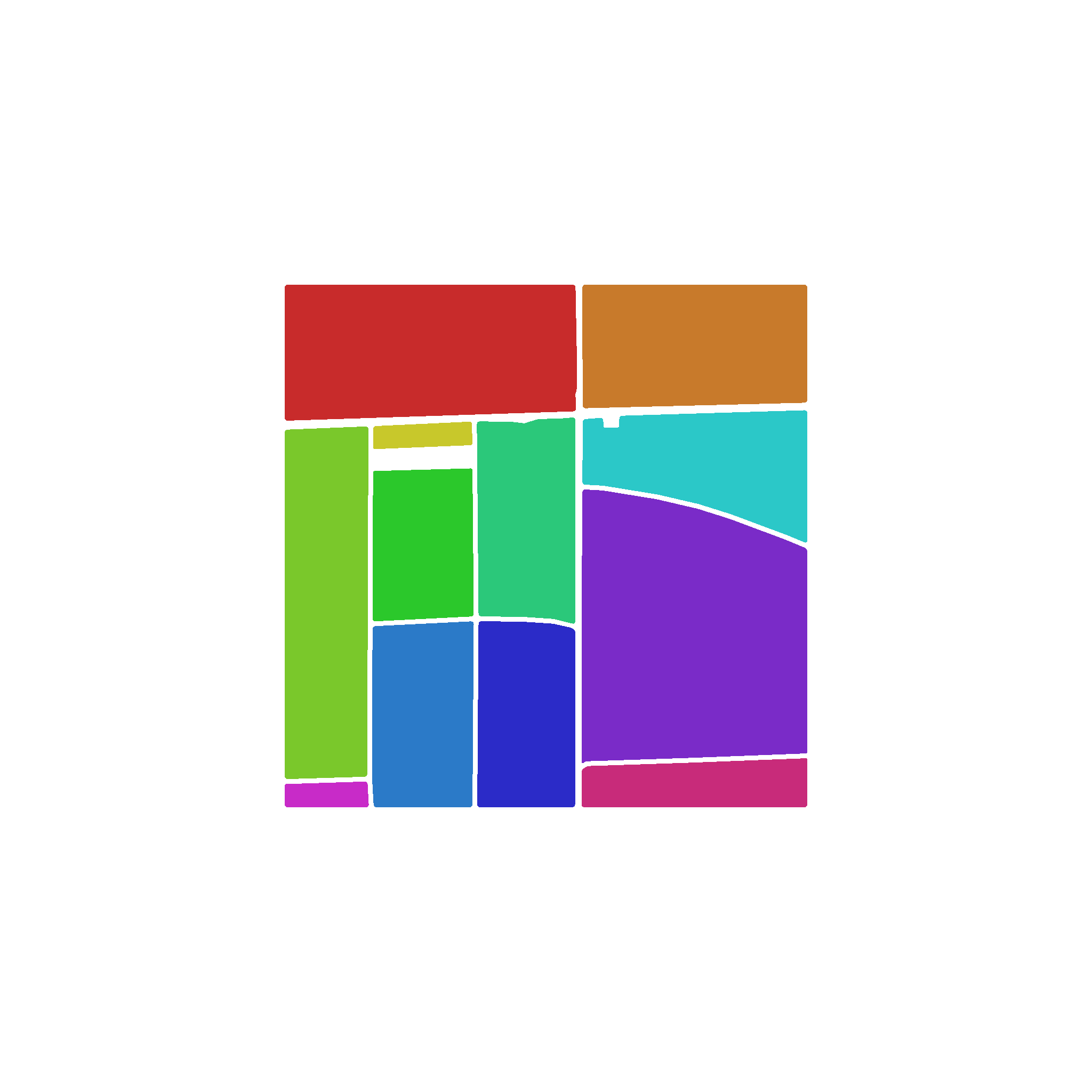
Preview image
Generated from the map preview asset.
Screenshots
7 uploaded views
Map description
Kac, Serbia is a real-world-inspired 2 km x 2 km map centered near Kać, east of Novi Sad, at 45.327568, 19.915938. Its broad, level fields and power-line corridors bring the agricultural landscape of southern Bačka into Farming Simulator 25. The map contains no pre-placed sell points or production points. Build the facilities needed for your own farm. Terrain elevation: NASA/NGA Shuttle Radar Topography Mission (SRTM). Imagery: Generated using European Union's Copernicus Land Monitoring Service information; Very High Resolution Image Mosaic 2021 True Colour (2 m). Map data: © OpenStreetMap contributors, available under the Open Database License (ODbL): https://www.openstreetmap.org/copyright]]>
Comments
No comments yet.
Sign in to comment or rate this map.